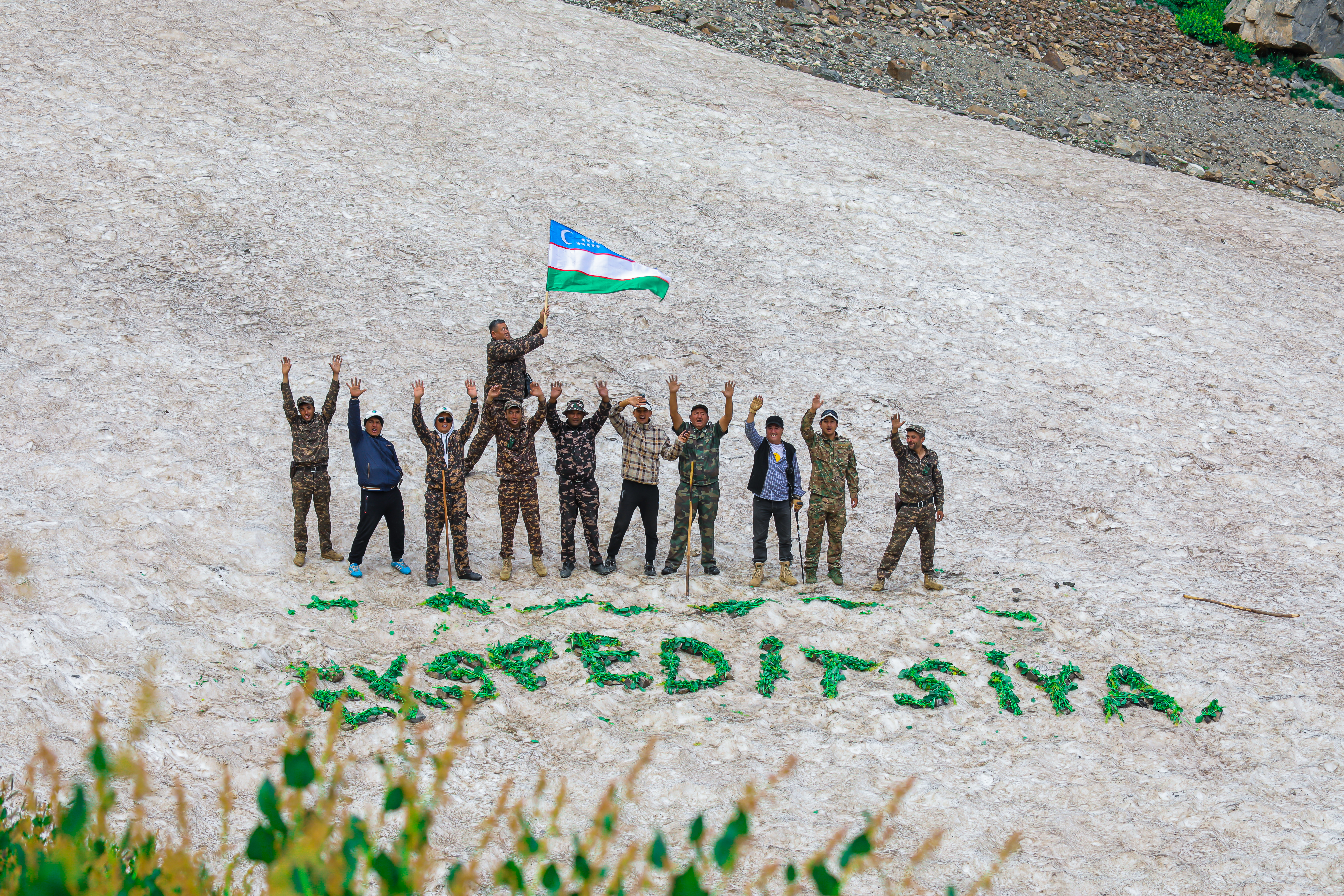
The Ministry of Ecology, Environmental Protection and Climate Change, together with the Uzbekistan TV channel, organized an expedition to the permafrost area - the glaciers of Severtsov and Batirbay of the Gissar State Reserve.
For information: the first expedition here was conducted by the Russian scientist and traveler N.A. Severtsov 120–130 years ago. His guide was a local shepherd, Batirbay. Therefore, the glaciers were named after Severtsov and Batirbay.
The Gissar State Reserve is located in the northwest part of the Gissar Range, which is part of the Pamir-Alai mountain system. The reserve's territory is a single array stretching 37 km from east to west and 90 km from north to south. There are many Paleozoic rocks in the mountain deposits. The height of the reserve's mountains ranges from 2500 to 4387 meters. Among them: the peaks of Hazrat-Sultan - 4987 m, Khodja-kirshivor - 4303 m, Turtkuylik - 4366 m, Bibi-olmas - 4349 m.
The mountain peaks of the Gissar State Reserve - Hazrat-Sultan, Khodja-kirshivor, Turtkuylik, Bibi-olmas, Khodjapirpir ota, Nomsiz are adjacent to the mountain peaks of the Surkhandarya region - Khodjapiryak and Osman talash, for which this mountain range is called "eight brothers."
From these peaks, covered with eternal glaciers, the Tupalangdarya and Aksu rivers originate. From the largest Batyrbai glacier, the area of which is 1600 hectares, the upper tributary of the Aksu River and the Khalikdod stream, 9-10 km long, originate.
The rivers on the territory of the reserve originate on the tops of huge mountains - the Severtsov and Batyrbai glaciers, with a total area of 3155 hectares. The largest of them are the Aksu, Tankhaz and Kyzyldarya rivers.
There are about 10 large and small lakes on the territory of the Gissar Reserve. Today they are poorly studied, at the moment the depth, width, and height of the lakes above sea level have been determined.


